East Fork State Park (Ohio)
General Location: East Fork State Park, Southwest Ohio
Day: April 4, 2015
Weather: 50s-60s, clear
Highlights: Way more deer than I normally see on hikes, my first creek crossing
Mileage: GaiaGPS says 7.63, the map at the bottom of the post says 7.72 miles
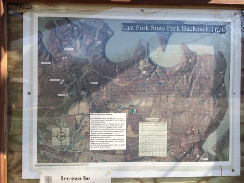
I am beginning to increase my hiking mileage in order to work my way up to some more challenging trips and hikes. Today’s adventure took me out to East Fork State Park in Clermont county. Unfortunately the park office was closed so I had to figure out where the trail head was, and then studied the maps for a while to figure out where the red-blazed backpacker trail is located. The total length of the backpacker’s trail is around 8 miles (from trailhead to end), and I walked almost half before turning around to trace my steps.
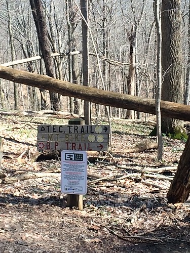
There are two trails that go off from the trail head, the red-blazed backpacker trail is the unremarkable non-signed muddy one on the right.
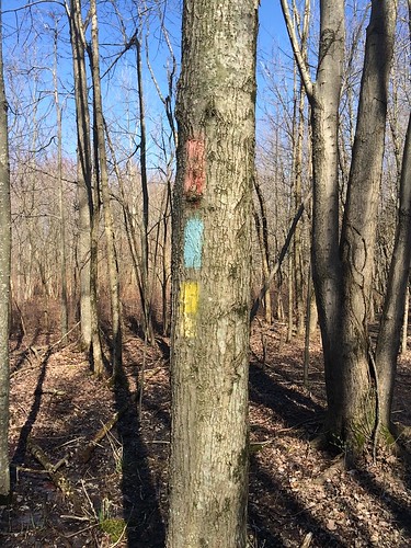
After a little while, you’ll begin seeing blazes. The trail is remarkably well-blazed (possibly even over-blazed). The red indicates the backpacker trail, blue for the Buckeye Trail, and yellow for the mountain bike trail (which follows it for a couple miles).
Trail split
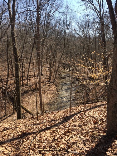
View of creek. The water was running pretty fast because of the spring melt and recent rain.
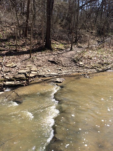
In general the first couple miles of the backpacker’s trail consist of many switchbacks, and are pretty deeply rutted in some spots due to mountain bikes. Be sure to wear shoes you can get muddy, and wet. I don’t have a lot of experience with creek crossings, so crossing this felt a bit like water chess (what move can I make to make the next 3 moves?). It seemed deeper when facing it than it does in the picture!
Moving up from the creek I stumbled across this stump with a green fox on it. Mysterious!
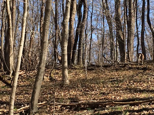
Shortly after that I stumbled upon the first of 3 groups of deer I saw during my hike. If you look close you can see one on the left, and a deer butt on the right.
From here the mountain bike trail splits off from the backpack trail.
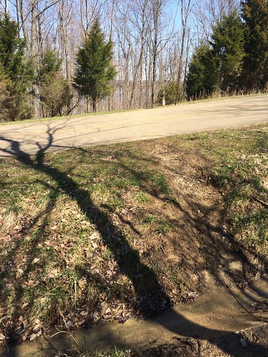
After a little while the backpack trail then crosses a road…
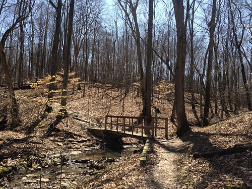
…and there are several footbridges. This is one of the nicer ones.
Another road crossing
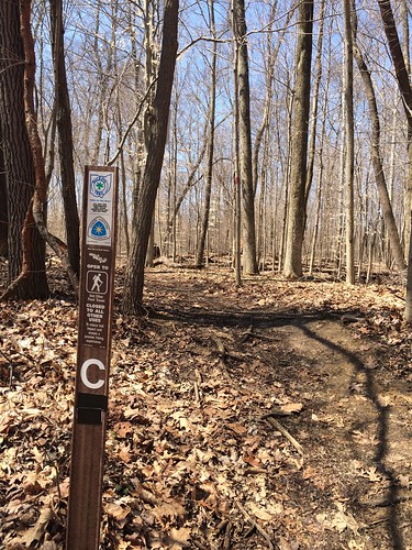
Other side of Point C Trail Marker. You can see the Buckeye Trail and the North Country Trail designations.
View of the reservoir on the return trip
Lots of wildflowers growing along the trail. My plant identification skills are very weak — something I hope to change over the course of future hikes. Do you think this is rue anemone?
