Sheltowee Trace: Section 2 – Charit Lodge parking lot to 6 miles past Peters Mountain Road
Dates: February 19-21, 2016
Weather: Clear and perfect weather on Saturday, rain beginning Sunday morning that went on and off most of the day
Section: Charit Lodge parking lot to just across Divide Road (overnight) to 6 miles past Peters Mountain Road
Miles: Saturday – 20.39 miles, Sunday – 15.27 miles (scroll to bottom to download GPX tracks for your GPS device or app. The miles displayed in the wordpress plugin are different than what the Gaia app says. You can also visit my Sheltowee Trace folder on GaiaGPS)
The February section of the 2016 Sheltowee Challenge definitely lived up to the “challenge” part of its name! It was one of those experiences where one moment you’re grateful for the beauty around you, and 10 minutes later you’re cursing the difficulty of the terrain. Team One was originally scheduled to go out the weekend of February 13-14, but frigid temperatures and snow meant rescheduling us over the following two weekends. I decided to join regularly-scheduled Team Two the following week, as did several other members of Team One. Sadly my friend Susanna had a conflict, and she was much missed by the fellow Team One members. This meant that close to 50 hikers hit the trail the weekend of February 20-21!
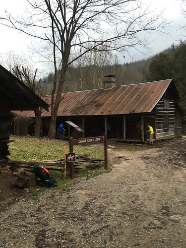
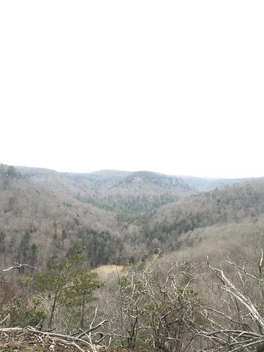
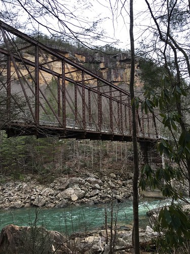
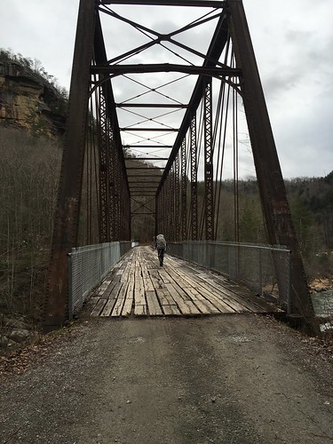
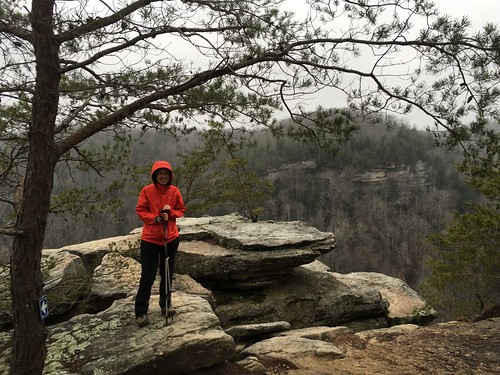
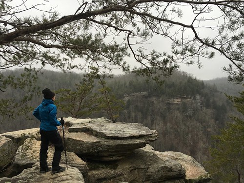
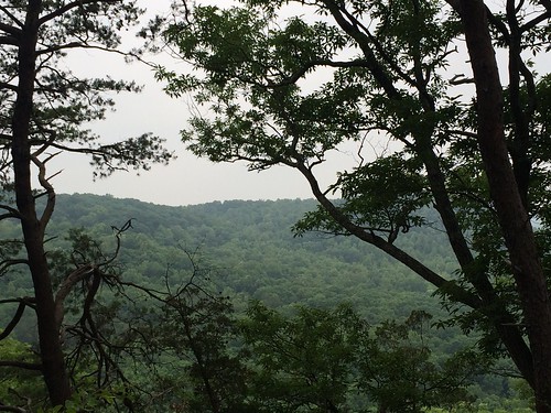
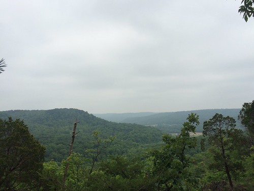
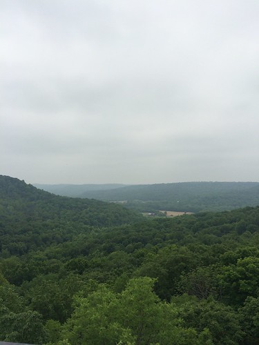
Luckily, the weather was as close to perfect as you could get on Saturday — which was good, because Saturday was the longest I’ve ever hiked in one day: a hair over 20 miles, at least according to my GPS app (I use Gaia GPS for iPhone). We started near Charit Lodge, and the scenery all of Saturday was beautiful! We gained a lot of elevation, but the views were amazing. I think this was at the top of No Business Overlook, but don’t quote me on that.
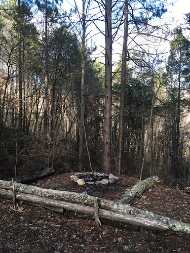
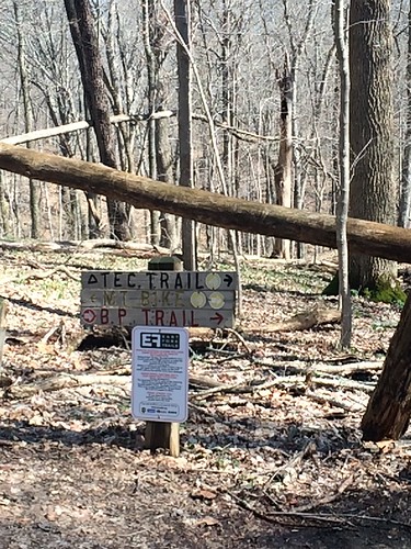
One thing I was really anxious about with Saturday’s long mileage was getting to the campsite before sunset. By the end of the day, I was hiking mostly on my own and leapfrogging other hikers, and I really wanted to make sure I wasn’t caught out there on my own after dark and possibly losing the trail. I kept thinking I was ALMOST there and then of course there was another turn around the bend! By the time I came up to Divide Road (which I knew was there because I could see cars at the top of the hill and knew the campsite was on the other side), I nearly dissolved into tears of relief. Everyone was so exhausted that by the time we were all in camp, I think everyone except for a few people went to bed by 9.
Our fair weather took a turn Sunday morning. Just as I was cooking some oatmeal and coffee under my hammock tarp (I sure do love using a hammock!), I heard a rumble that sounded suspiciously like thunder. Shortly after, the skies opened up, and it rained steadily on and off the rest of the day. One thing I learned from this weekend: when it rains constantly and you’re hiking hard, you’re going to get soaked somehow. Even if you put on rain gear, you’ll inevitably work up a soggy sweat inside your rain coat and pants.
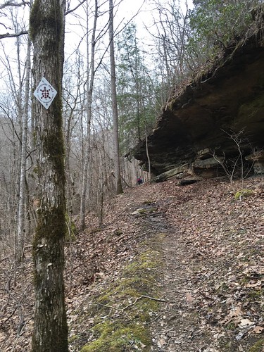
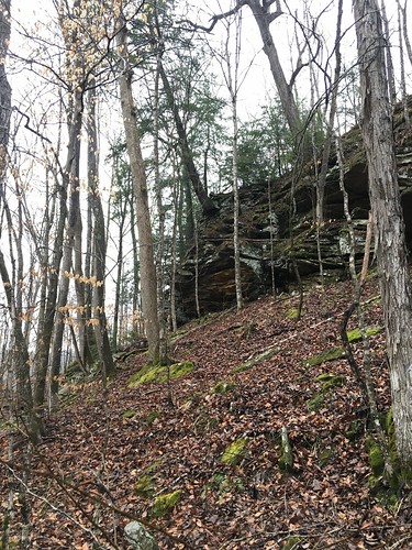
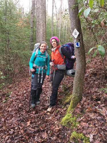
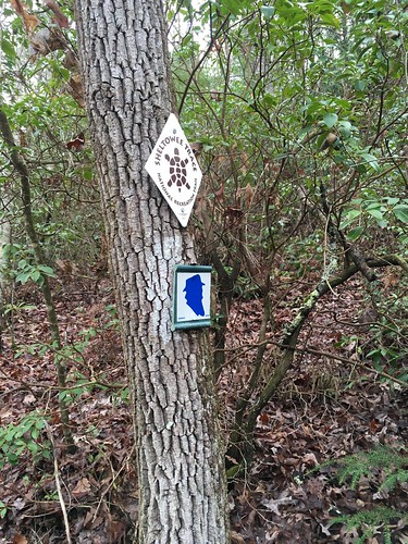
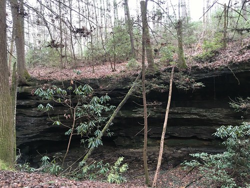
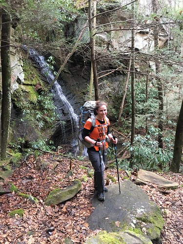
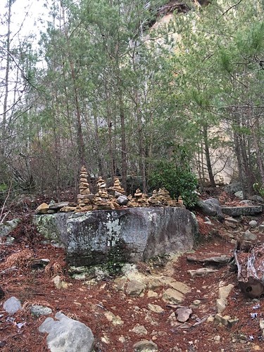
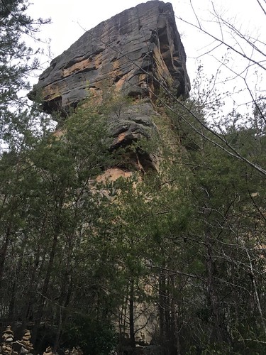
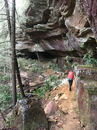
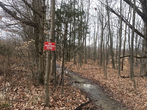
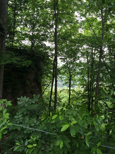
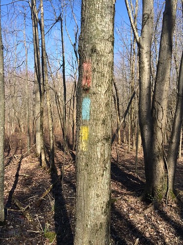
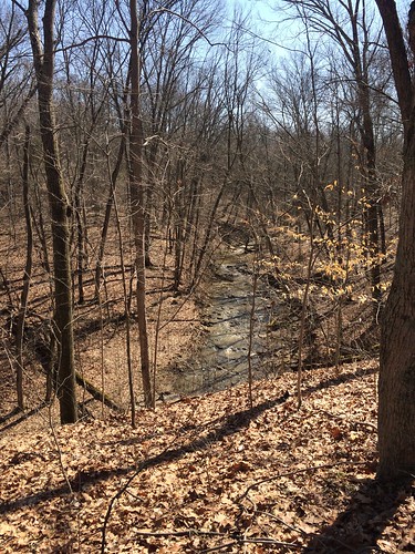
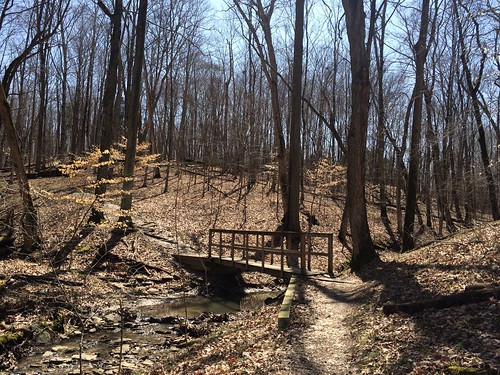
One thing I now appreciate is how winter hiking is incredibly challenging even when it’s mild and there isn’t snow. This is because the trail is incredibly faint in a lot of places, especially when covered with wet leaves. If you were to zoom in closely on my tracks, especially for the beginning of the second day, you’d notice a lot of zigzagging in a few spots. Because of the rain, I didn’t take many pictures but here’s a typical scene — the Sheltowee is full of views like this, with majestic trees growing right out of the rock!
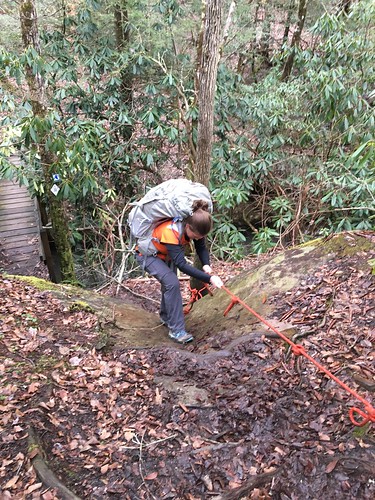
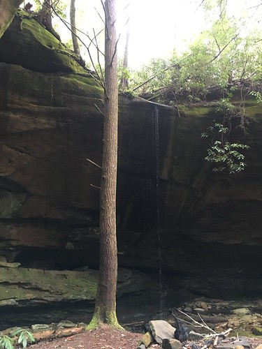
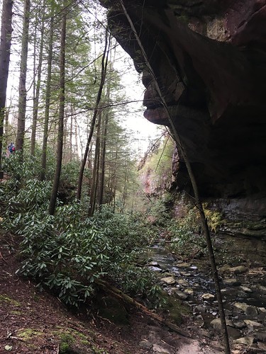
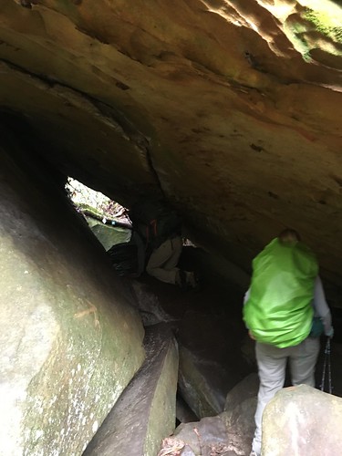
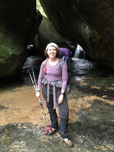
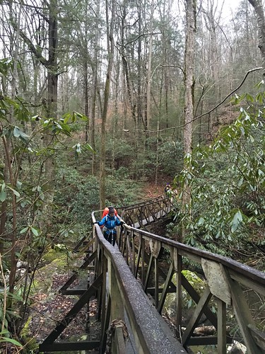
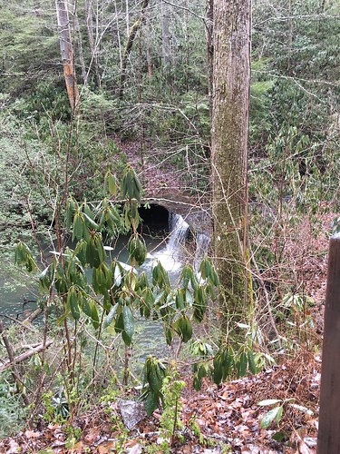
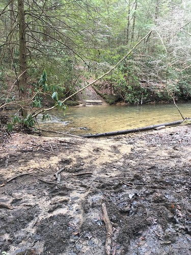
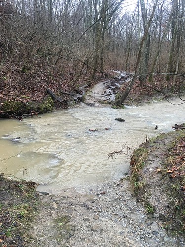
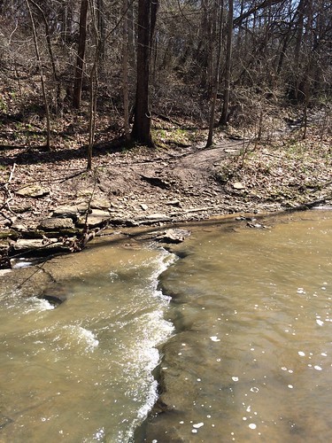
By far the hardest part of this trail for me was once it entered Rock Creek (as in, the trail was literally IN THE CREEK). I did this section mostly on my own, and 95% of the time I wasn’t sure if I was doing the right thing (I finally figured out by the time I dead-ended at the waterfall and had to crawl up next to the ladder in dire need of repair that there was no other way forward!). I had done the whole “take the boots off for the first creek crossing and then take forever to put them back on” only to realize I should’ve just kept on my Tevas (which I use for water shoes and for camp shoes) for the next hour or so. Such is life — and while I’m sure I generated beaucoup grit or something during that section, I was also cussing up a storm going through that creek.
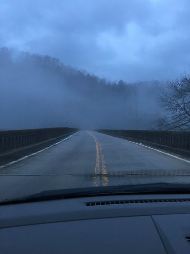
The last 6 miles was gravel road walking past the Peter’s Mountain Road campsite, up to where the ST turned back into the woods. Not a super thrilling end, but sort of a good mental break from the hike through the creek. The drive back was super misty, and eerily beautiful!
Every time you go into the woods, you learn a bit more about what worked well and what you can improve on in the future.
What worked well for me:
- My new alcohol stove is A-W-E-S-O-M-E!!
- My new sleeping bag was possibly the coziest thing ever. I sleep very cold, so even though the temperature rating was way lower than I needed, I didn’t regret having it.
- I tried out hiking sock liners under my regular hiking socks — the jury is out until a non-rainy day on blister prevention, but I remain intrigued and they certainly didn’t hurt.
- I was way better prepared about timing my breaks by stuffing snacks in my hip pockets well in advance.
What I need to improve:
- I really need to get my act together and change out the default suspension system on my Hennessy hammock. It takes way too long to set up and take down.
- Even though I got a kitchen scale to weight my various gear, I suspect I’m still carrying too much weight.
- I’m seriously considering ditching my compass — I know this might be controversial, but it’s the only thing in my gear I’ve never actually used, and it’s not like I’m in seriously remote backcountry. Between a really great set of paper maps with lots of clearly identified landmarks and my GPS app on my phone with an external battery charger, I don’t think I’m at serious risk of getting lost more than a couple hours, especially as I’m very careful to pay attention to blazes and my general location at all times. What do y’all think?
Saturday track:
Sunday track:
