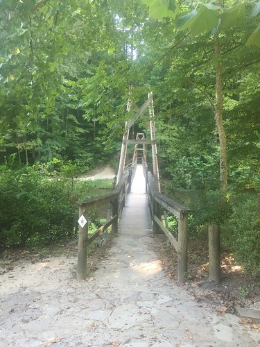
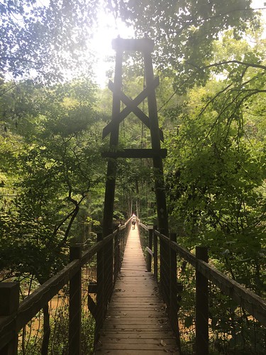
Sheltowee Trace: Section 8 – Heidelberg to Highway 715, near the Red River Gorge suspension bridge
Dates: August 13-14, 2016
Weather: Hot and clear
Section: Heidelberg, Kentucky (just across the blue bridge) to Highway 715, near the Red River Gorge suspension bridge
Miles: Saturday – 21.91 — Gaia GPS, official STA map — 20.5 miles (readers note I forgot to activate my app for about 20 minutes during the last leg of Saturday’s hike, so if you look at the track there is a chunk missing);
Sunday – 12.67 miles — Gaia GPS, official STA map — 11.5 miles. Scroll to bottom to download GPX tracks for your GPS device or app. The miles displayed in the wordpress plugin are different than what the Gaia app says, which is what I list in this top section. You can also visit my Sheltowee Trace folder on GaiaGPS.
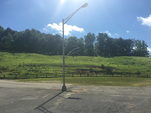
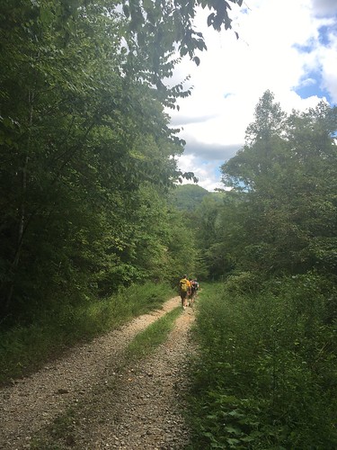
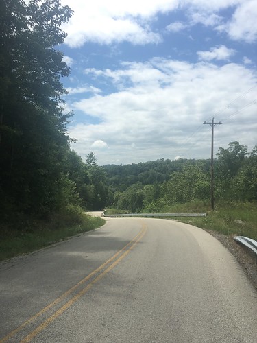
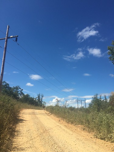
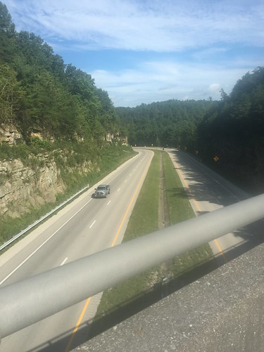
The section of the Sheltowee Trace around Heidelberg has the mildly horror-inducing nickname “the Heidelberg death march” because it consists of so much road-walking. So for Saturday, we were on the road much of the day, including some steep climbs. In the hot and humid August heat.
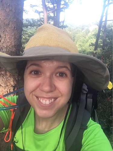
Luckily I had the foresight to bring my daypack with me, and was able to slack pack on Saturday (my big pack was in STA director Steve’s van, which I carried on Sunday with my daypack squished inside). This helped a lot, but the day was still very challenging. It’s not called a challenge for nothing! Road walking definitely has more cons than pros, but if I can say anything good about it, it’s that you can go on auto-pilot for long stretches. I don’t normally listen to headphones hiking in the woods because it’s too distracting, but as long as you have the volume turned down enough to hear approaching cars, it’s nice to listen to some tunes or podcasts while on a long uphill road climb (my soundtrack on Saturday was a combo of Lizzo’s Good as Hell and some of the tracks from Beyonce’s Lemonade album).
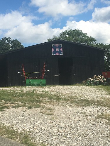
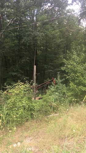
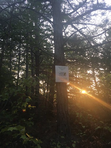
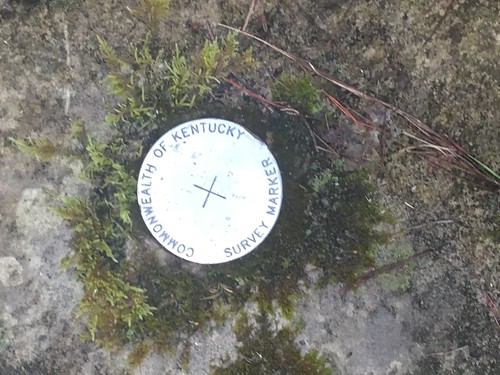
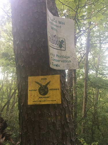
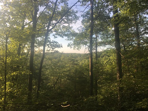
I took a ton of pictures on this hike. I recently finished Roderick Nash’s Wilderness and the American Mind, which is a foundational history on the rhetoric and theory behind the establishment of protected wilderness. I was also in the middle of reading Erik Reece’s Lost Mountain, which recounts a year-long snapshot of mountain top removal and strip mining in Kentucky. So while we were hiking, I was thinking a lot about how humans shape the environment and how even deep inside the woods you can see the work of humans everywhere (trail markers, signs posted on trees, etc). Because this was my frame of mind during the hike, a lot of the pictures show a combination of nature and civilization.
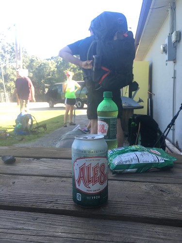
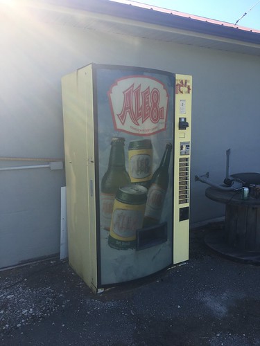
Shortly after we began the “death march” we stopped by this store where we took a break to drink the official beverage of the state of Kentucky, Ale8. Nothing refreshes better during a hot hike!
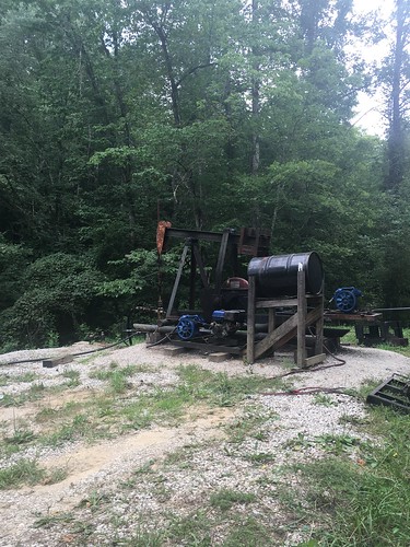
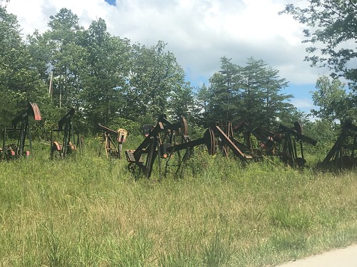
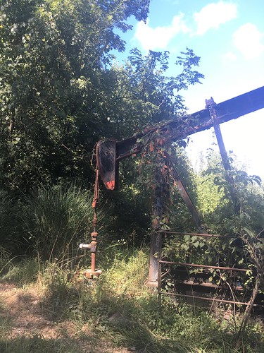
A somewhat surprising thing about this hike was the number of oil wells in the area. We walked by several of them on Saturday’s hike.
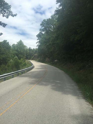
This was the most punishing uphill climb. These photos are “behind me” and “in front of me” shots of the climb — according to my app, it was over 350 feet of elevation gain in < 20 minutes. Dear Beyonce, thank you for getting me through this very difficult part!
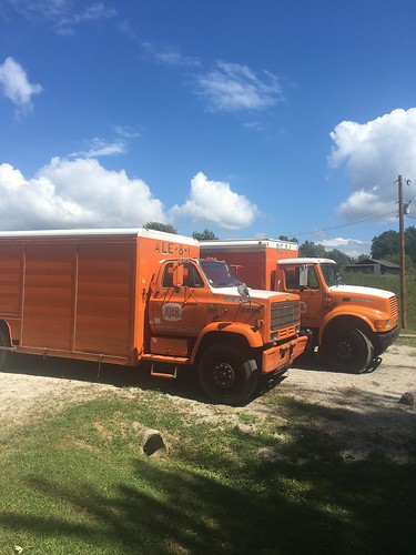
Before we pushed on through the last leg, we stopped to rest our now very tired legs. Too bad these Ale8 trucks weren’t full of frosty beverages to pass out!
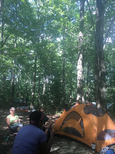
Despite the long road walk, we got to camp with a few hours of daylight left. Folks set up their tents (or hammocks — and this month, I believe the hammock campers may have outnumbered the tent campers by close to 2 to 1) and then congregated near this spot to hang out. We haven’t had a fire for a couple months now — it’s just too darn hot.
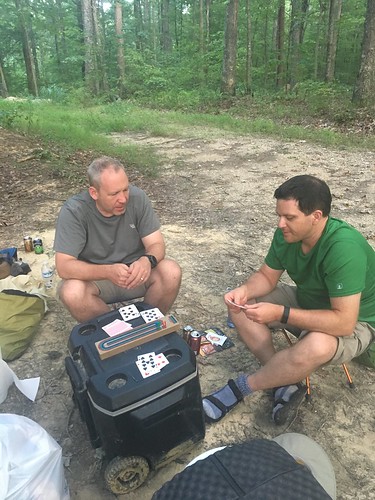
Last month I found out fellow hiker Kurt is a cribbage player. So I brought my board and we played a few games between Friday and Saturday night. We also roped his coworker Greg into playing three-person cribbage, a first for me.
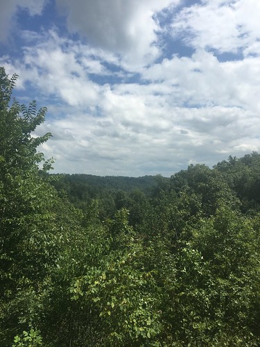
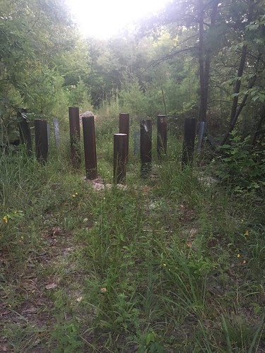
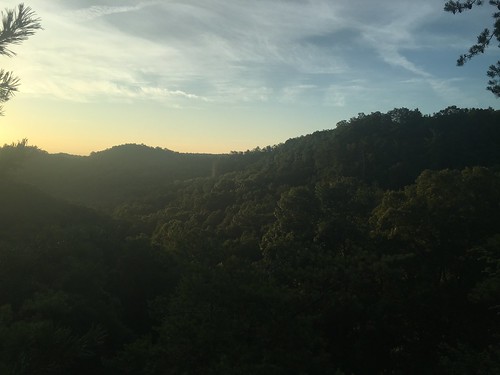
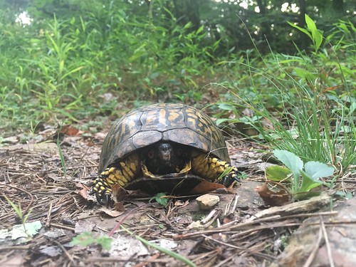
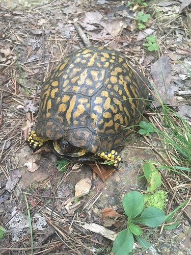
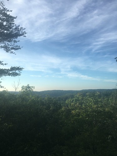
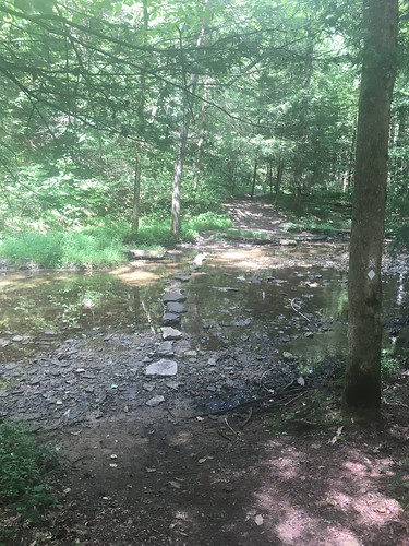
Sunday morning we were back in the woods, though the first part was pretty brushy. As we approached the Red River Gorge area, we encountered more signs of land management, such as these barriers to offroad vehicles. The sunrise was gorgeous, and I even encountered a living symbol of the trail, this semi-freaked out box turtle!
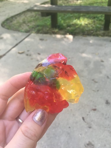
It was a hot and humid morning, and when I stopped at the Hemlock Lodge in Natural Bridge State Park to unpack some snacks, my gummy bears turned into this…
The last few miles felt really long – luckily I knocked them out just before some rainstorms rolled in. And I saw more critters towards the end of the Sunday hike – a black snake slithered across the path, and an injured frog (toad?) was doing loopy circles on the way (thankfully fellow hiker Keely nudged it out of the way!). Unfortunately no pictures of either.
It’s really hard to believe we only have 3 months left to go. We’re now officially down to less than 100 miles to go!
Saturday track:
Sunday track: