I’m fortunate to work at a university that closes between Christmas and New Year’s, so I had the final week of 2015 off work. In a few days, I will be starting a monthly section-hiking challenge of the Sheltowee Trace, which runs through Tennessee and Kentucky. This section hike will occur once a month from January through November, and each weekend a group will hike roughly 30 miles over the course of a Saturday and Sunday. By November, I will have hiked all 319 miles of the trail.
In order to get ready for the section hike, I thought it would behoove me to get my mind and body ready by hiking every weekday of my winter break. I love hiking and backpacking, but normally I only get to dayhike a few times a month, and backpack once every several months. Getting out to hike every day was a real joy, even when the weather was less than ideal. I have been dealing with a lot of challenging issues across the various parts of my life, and my mind tends to get caught in loops of obsessive worrying. I find that hiking and getting outside keeps me balanced, and even if it doesn’t cure worry, it does remove me from it for the time that I’m focusing on not losing the trail, on making sure I’m fed and watered, and ensuring I’m making enough progress while it’s still light enough to get back to my car.
All told, I hiked 45 miles across several Southwest Ohio parks. I often day-hike at East Fork, but all the others were new to me. Here was the breakdown:
Monday, Cincinnati Nature Center — 5.47
Tuesday, Caesar Creek State Park — 6.3
Wednesday, East Fork State Park — 8.48
Thursday, Germantown Metro Park — 10.87
Friday, East Fork State Park — 14.85
(**For what it’s worth, the mileage above was what I got from the tracks on my phone’s app — after uploading the GPX tracks, it seems I get a slightly higher mileage)
In addition to the tracks, I want to share a few impressions from each hike:
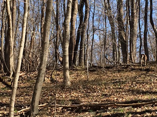
Cincinnati Nature Center — This is a privately owned nature center east of Cincinnati, and I visited the Rowe Woods location on my visit. I think I may have visited it once many years ago as a child, but I hadn’t been for some time. There were abundant deer there, and at one point I crossed the trail with two does off to the left, and a young buck and a fawn to the right. I would have loved to take a picture but the does were giving me the stink eye, so I thought I better hustle. Unfortunately, this trail was blocked by high water at a creek crossing, water that seemed too high to cross safely without water shoes.
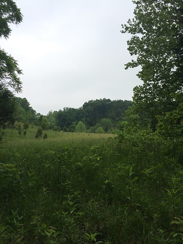
I really enjoyed the pink flower-blazed trail, which winds around a small field down a hill. Overall, the trails are incredibly well-maintained at the Nature Center. The staff at the visitor center were very nice, and the center even had a small Charley Harper exhibit up. I enjoyed my visit so much I might seriously consider buying a membership.
Caesar Creek State Park — I really wanted to like Caesar Creek, and I think on another day I would have — but unfortunately it wasn’t as enjoyable as I had hoped. Some of this was my fault — I made the mistake of coming on the last day of rifle hunting deer season. But too many weird incidents kept piling up (what I think was a deer carcass to the side of the trail, walking into a clearing where cigarette smoke drifted in but no sign of anyone, hearing squeaky metal noises and then a minute later rounding a corner to see some new clothes thrown up on a branch, and seeing a hunting blind *way* too close per regulations to the trail) that made me feel pretty uncomfortable returning the way I had hiked out. For the first time ever, I decided to road-walk back to my car.
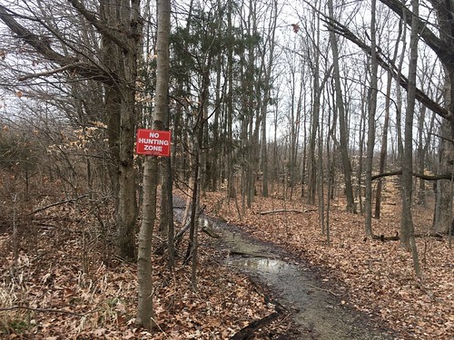
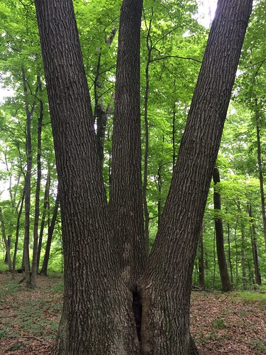
I don’t normally get too weirded out by one or two odd things in the woods, but all of them put together had me feeling uneasy. I look forward to going back to Caesar Creek when there’s less hunting, as the forest was very cool. On the bright side, there was a small section past the rental lodge that was not a hunting zone — this had some amazing shagbark hickory and was a very pleasant hike that passed through an interesting creek bed.
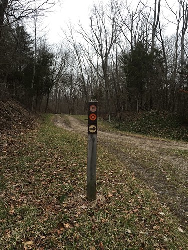
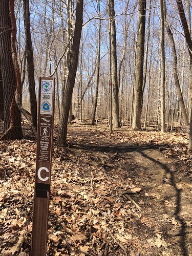
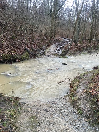
I set out to put in at least 10 miles at Germantown Metro Park, and did the Orange loop, which was just under 8 miles. A part of the trail near the blue and yellow sections is located in a flood plain, and given the recent high water, the trail was very muddy and hard to follow at times. The only way I could tell where I was going was following the mucky footsteps of previous hikers. I was very glad I had my trekking poles with me — the surface was so slick I sort of felt like I was drunk hiking through the mud. I had a brief chat with another hiker going the other direction, who told me he was a regular, and that he had seen corn cobs several feet up in the trees because of how high the water gets (!) Take note that there is a way to bypass the flood plain altogether, signs are posted at the trail markers as you approach the descent.
One thing I really appreciated about this trail was that a bench had been placed thoughtfully at the top of every hill for one to catch their breath. I saw tons of animal tracks — unfortunately at one point close to a property line, I saw a tree stand literally on the other side of the boundary. If I’m not mistaken, this close proximity was almost certainly a violation of the Ohio regulation of being 400 feet from a trail (
http://codes.ohio.gov/oac/1501%3A41-15 ).
To get in more mileage, upon my return I made a small trip to visit the individual and group campsites off the blue trail. The individual campsites are interesting, there are 3 that are off a main path, and they share an outhouse and a communal cooking area. Unfortunately, the sites are pretty small and don’t appear to have good tree cover for hammocks.Hangers may have more luck at the nearby group camp site — this area had many more trees that appeared suitable for camping.
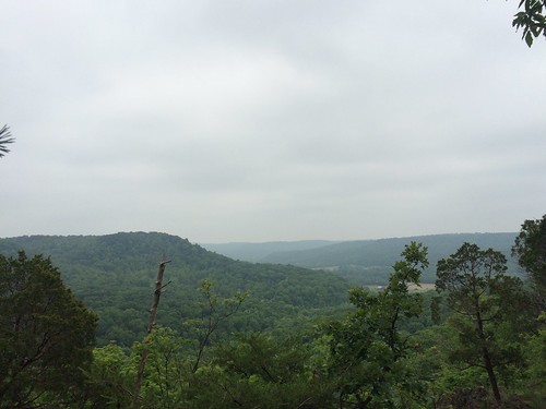
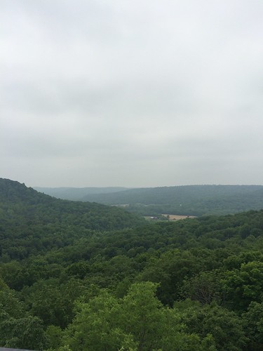
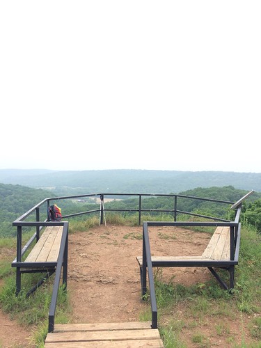
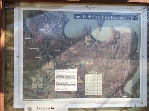
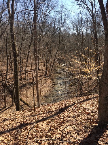
East Fork State Park — I visited here twice, once on Wednesday and again on Friday. East Fork is one of my favorite parks in the area, and my go-to park when I want to hike more than 3-4 miles. On Wednesday I went a bit longer than my usual mileage, but not by much since I wanted to try out my new Esbit stove and had to haul ass to get back to my car before sunset.
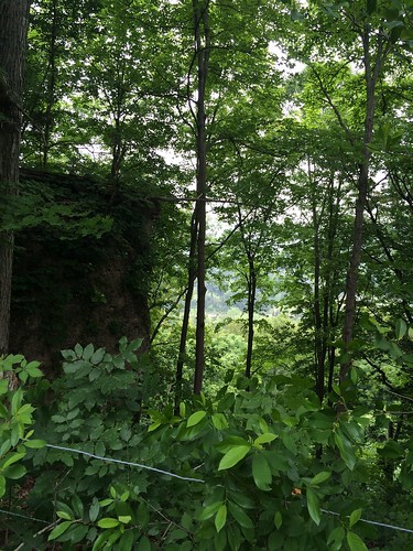
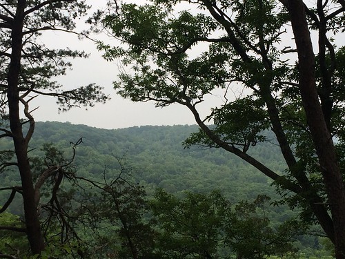
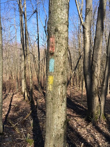
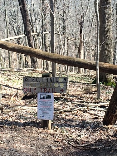
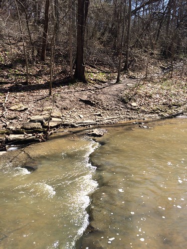
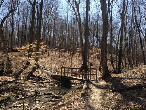
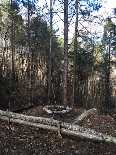
I returned on Friday (New Year’s Day) with my friend Susanna, and we hiked all the way out to Campsite 2 on the red-blazed backpacker’s trail, which was just under 16 miles. This was the furthest I’ve ever hiked at East Fork, and it was a really fun trail. I was surprised to see several unmapped campsites with well-built fire rings before Campsite 2 — the park staff instruct people to only stay at Campsites 1 and 2 on the backpacking trail, but the stone fire-rings seem to indicate that people don’t really observe this very much. I do know East Fork is popular for stealth camping. My favorite little spot we happened upon was a small hemlock grove (I think? picture below) shortly before Campsite 2.
Comments Off on Final week of 2015 hiking