Edge of Appalachia (Ohio)
General Location: Edge of Appalachia Preserve, Buzzardroost Rock, Adams County, Ohio
Day: June 6, 2015
Highlights: Nicely maintained trail in Adams County, Ohio
Mileage: GaiaGPS says about 4.6 miles
I drove out to Adams County one day to hike the Buzzard Roost Rock Trail, a short trail that is part of the Edge of Appalachia Nature Preserve.
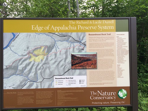
Map at trail head
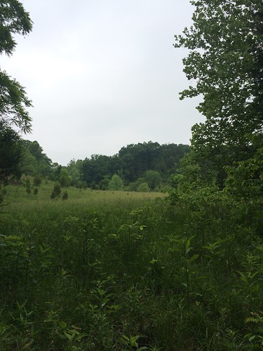
After a while the trail opens up into a field. Not pictured are many of the nice wildflowers!
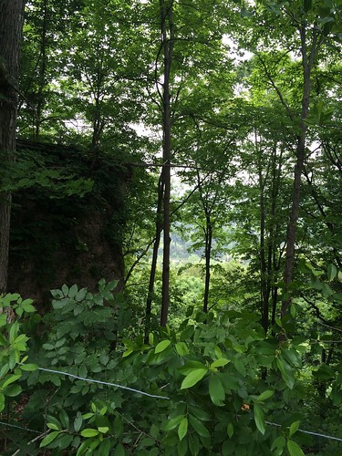 As the trail goes up, there are wires on the side to keep you from getting too close to steep drop-offs
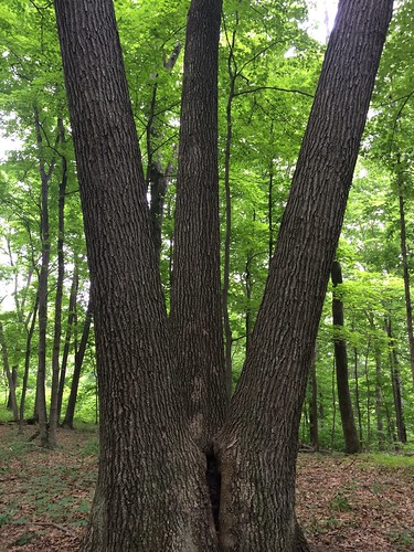
Three trees in one
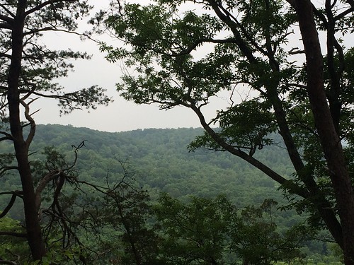
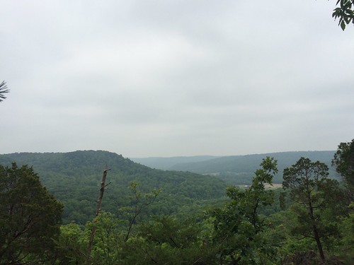
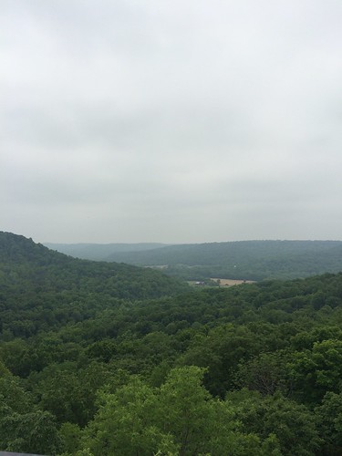
Views from the lookout point of the trail
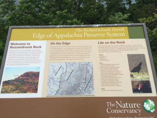
Sign at the lookout point
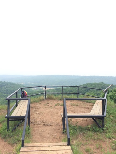
A great spot to eat lunch before heading back down the trail.
Notes on the track: I did the track below out and back (this is actually a little longer than I intended since I had to backtrack to the parking lot after I started to grab something from my car). According to the trailhead map above, there is a loop, but I could not find it.