Sheltowee Trace: Section 11 – Morehead to the Northern Terminus
Dates: November 12-13, 2016
Weather: Cool and a bit chilly during the day, cold overnight.
Section: Morehead, Kentucky to the Northern Terminus
Miles: Saturday – 14.29 — Gaia GPS, official STA map — 13.25 miles;
Sunday – 11.78 — Gaia GPS, official STA map — 11 miles. Scroll to bottom to download GPX tracks for your GPS device or app. The miles displayed in the wordpress plugin are different than what the Gaia app says, which is what I list in this top section. You can also visit my Sheltowee Trace folder on GaiaGPS.
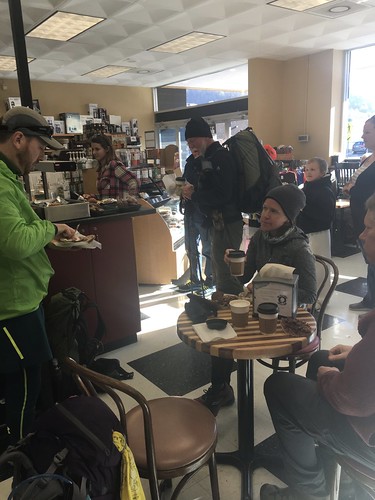
The last month! It was a joy to hike again with my friend Susanna, who recently returned from her Pacific Crest Trail thru-hike and joined me for this last section. We had several treats for our last hike on the Sheltowee. The first was right at the beginning, when we stopped by the Fuzzy Duck Coffee Shop in Morehead. Nothing like starting your hike out with a little extra caffeine!
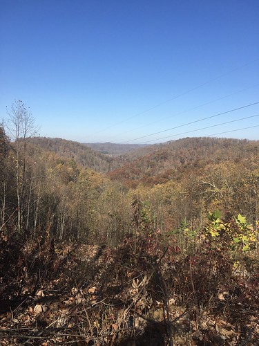
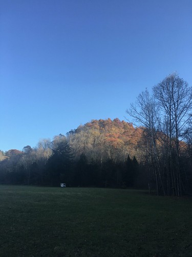
The hike outside of Morehead goes by Morehead State and climbs a steep set of switchbacks up some hills. We had worked up a sweat by the time we got to the top. There was still a bit of fall color lingering in the hills.
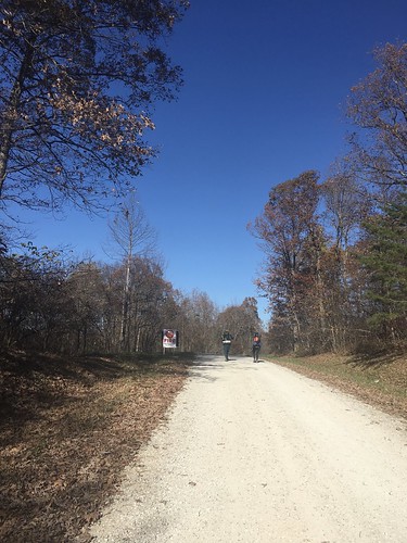
There was a lot of forest service road walking, and because it was the first weekend of rifle deer hunting season, there were lots of hunters out. Always remember to wear orange during fall and winter!
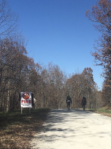
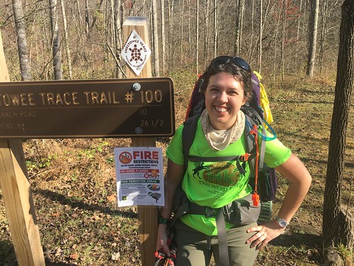
There was also a ban on fire in the area – at the time we were hiking, there had been recent forest fires further south in the Daniel Boone National Forest, around the Red River Gorge area.
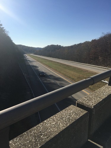
We had one last major crossing – over I-64.
We arrived at camp a couple hours before twilight.
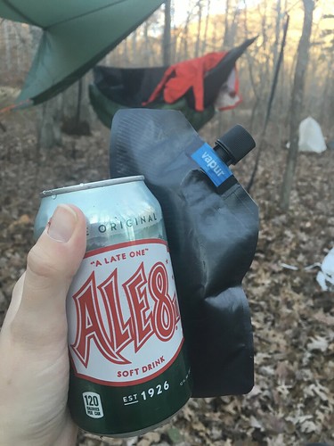
STA director Steve was kind enough to bring us sodas, so I kicked back with my FAVORITE post-hike cocktail: a can of Ale8 and some bourbon. Seriously, there is nothing better after a long day of hiking in Kentucky.
We couldn’t have a campfire due to fire restrictions, but some Trail Angels (aka members of previous Sheltowee Trace End to End classes) brought us chili, warm cornbread, brownies, and hot beverages. Amazing! Most of us went to bed pretty early, since it was so darn cold without a fire.
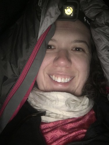
Here’s me hunkered down in my hammock – luckily I stayed pretty warm (and fortunately I packed a couple of those instant hand warmers, which helped keep my feet toasty), although my breath meant I had a lot of condensation on my sleeping bag in the morning.
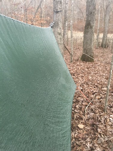
Here’s the frost that was on my tarp the next morning:
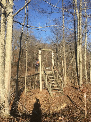
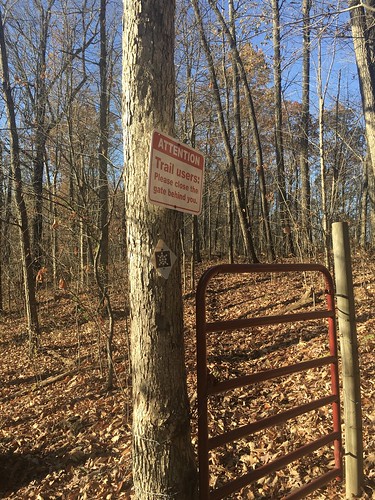
The hike out was fairly uneventful, though we did have to remember to close a couple gates behind us.
Honestly, I wish I could say I enjoyed the last few miles of this epic hike, but the recent election weighed very heavily on my mind that Sunday. I had some difficulty getting past the anxiety and fear to just zone out and bask in the final miles. Hiking is the best form of free therapy I’ve ever found, and even though maybe it’s never as instantly healing as I’d like, I know it’s always good to exercise my body even if my mind feels frantic.
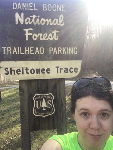
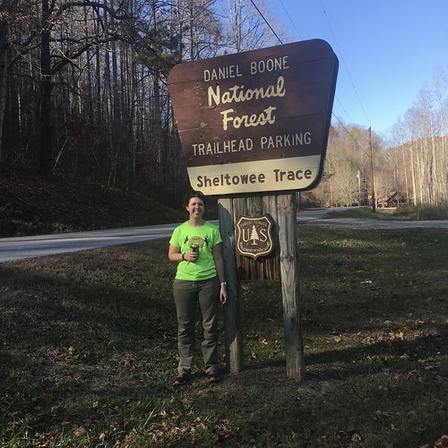
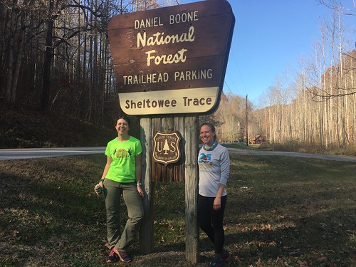
Our trail angels made a reappearance at the end with sandwiches, snacks, and soda. Steve, STA director, was there to shake our hands and congratulate us as we crossed the finish line.
Thank you to the trail angels and Steve for helping us celebrate a joyous occasion. I really look forward to joining everyone down in Livingston for a few weeks so we can all collectively celebrate our huge accomplishment. It’s no small thing to hike over 300 miles in one year. I am so grateful for the connections I made over the last year, and the beauty I got to see every month in this very special part of the country. I’ll be sharing more “closing thoughts” about the Sheltowee Trace. If you are interested in joining the Class of 2017, sign-ups are now open!
Saturday track:
Sunday track:
Categorised as: outside
I’m signed up and feeling some anxiety about it all. Hope to meet you Saturday!
You’ll have a great time Marcia! The first few months are the hardest. Stick with it, it’s a fantastic experience.
What was your favorite section?
What type of insulation did you use with your hammock? “Under quilt or foam pad?”
Hi Rusty – they all have their pros and cons, but I tended to prefer the sections on the southern half of the trail – more picturesque and less road-walking. I typically use an underquilt, but when it gets really cold I combine it with a reflective foam pad I bring inside the hammock with me.