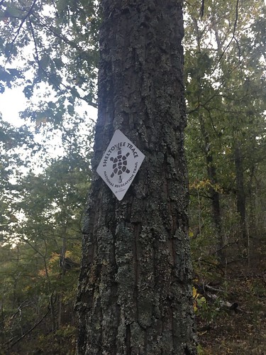
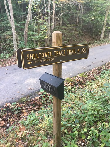
Sheltowee Trace: Section 10 – Clear Creek trail head to Morehead, KY
Dates: October 8-9, 2016
Weather: Perfect fall hiking weather! Warm but not hot Saturday afternoon, cool in the mornings, and almost chilly overnight.
Section: Clear Creek trail head to Morehead, Kentucky (parking lot across the street from the police station)
Miles: Saturday – 18.08 — Gaia GPS, official STA map — 18ish miles (Readers note that new mileage has been added on to the official ST – if you are looking at a current map, it is Trail 1226 between ST miles 40 and 38.5);
Sunday – 9.97 — Gaia GPS, official STA map — 9 miles (Readers note the first dog-leg on the GPS track below is to Limestone Knob, and the second was to attempt to find the lookout at Amburgy Rock). Scroll to bottom to download GPX tracks for your GPS device or app. The miles displayed in the wordpress plugin are different than what the Gaia app says, which is what I list in this top section. You can also visit my Sheltowee Trace folder on GaiaGPS.
This weekend’s hike started with a valuable lesson – never assume that a campground you’re counting on will have a space when you pull up! Team One was on our own this month for Friday night pre-hike arrangements, so I assumed I could snag a spot at the Twin Knobs campground, only to pull up and find a “campground full” sign at the entrance. To make a long story short, I ended up snagging one of the last few hotel rooms in Morehead, at the Comfort Inn (2650 Ky 801 North) a couple miles away that had just a booking cancellation pop up. I’m eternally grateful to the hotel staff for squeezing me in. It felt a bit like cheating to get a hotel room the night before, but I wasn’t sure if my fellow hikers made it to the other campground (Clear Creek), and since it has no cell phone service, I felt a bit uneasy about that prospect since I was on my own this month.
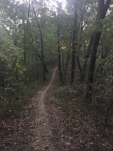
I brought the stove back this month, along with a bit more weight in food and insulation. I don’t think I added more than a couple pounds of pack weight, and we had gorgeous weather, but for some reason Saturday’s hike was really difficult for me. Apparently I wasn’t the only one – lots of other hikers mentioned the same thing.
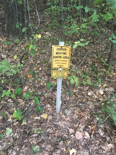
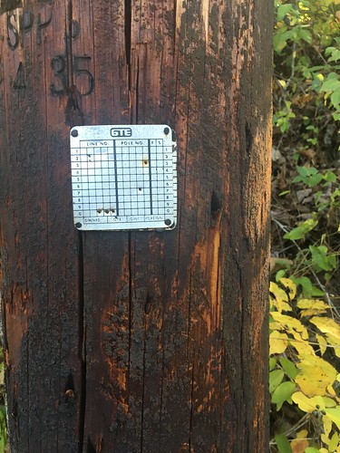
Signs of hunting season have begun to pop up near the trail, especially since this section goes through a pioneer weapons hunting area. At one trail junction, I was hiking by myself, and as I looked to see what the marker on the non-ST trail said, I heard a disembodied voice out of nowhere say quietly, “Ma’am, are you looking for your party?” I looked around, and couldn’t see anyone, and began to freak out – until I looked up and saw a hunter in a tree-stand in full camo (no blaze orange on him). All I could think to reply was “Oh, hi! You are very well camouflaged!” I headed on down the trail and saw a couple other guys in tree stands (visible from far away since they were using blaze orange gear).
Later on, a group of 6 horseback riders passed on the trail. Many of the ST trails are also used by horseback riders, but this was the first time I had actually encountered any. They went much faster than I thought – impressive!
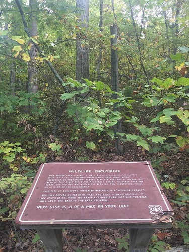
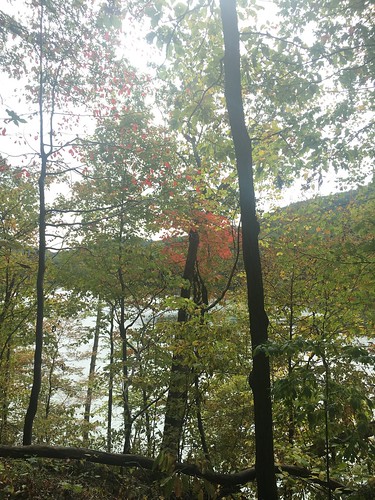
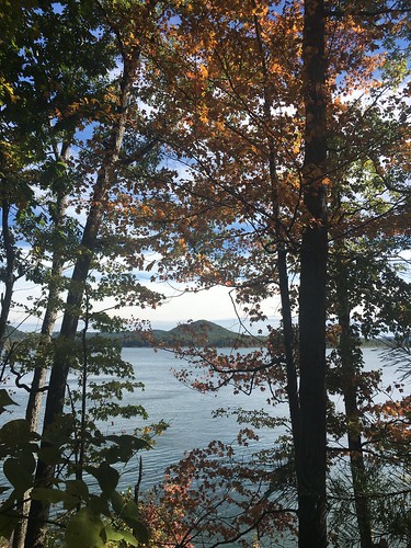
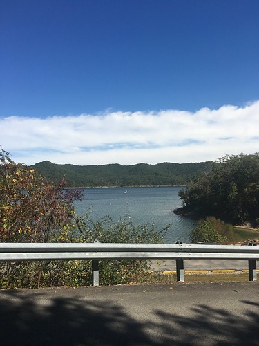
Much of the trail on Saturday went around the Cave Run Lake, and we got a glimpse of fall.
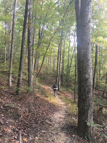
I always enjoy the first bit of hiking on Sunday – I’m often on my own (the last few months, the earliest risers tend to be a few minutes ahead of me, while those who like to sleep in are just waking up as I hit the trail), so I enjoy the solitude and the feeling of the woods waking up around me as I set off for the final miles of the day.
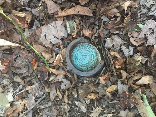
On Sunday, I climbed to the top of Limestone Knob, the highest point in Rowan County with a couple other hikers. No good lookout, but there was a neat survey marker on top. I also tried to figure out the Amburgy Rock lookout, and gave up after a few minutes of trying to find the best way up.
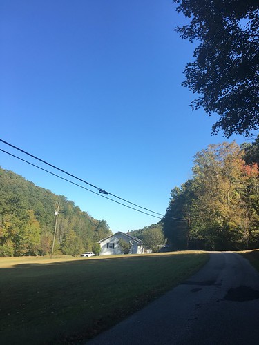
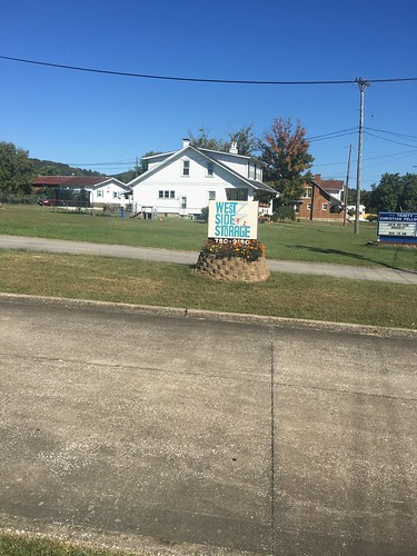
The last few miles on Sunday were road-walking back into Morehead. I have a very strong affinity for Morehead – it always feels like something is going on there, and I love how it’s tucked in to the foothills. With our arrival in Morehead, we now have less than 25 miles to go with our final hike next month.
Finally, a huge thank you to Elizabeth, Class of 2015, who helped with Team One support this weekend while STA director Steve was at a trail conference. She did an awesome job bringing us water along the trail and checking us all in.
Saturday track:
Sunday track:
Categorised as: outside
Good one Eira. I’m a little sad it is coming to a end next month.
Me too!
Nice. Write-up. Alice and I are doing this section this weekend.
Enjoy! Hope to see you guys soon!
Hi Eira, I just wanted you to know that I love reading your blog about our hikes! You do such an amazing job! This week I’m able to read your blog before I do the hike. It is extremely helpful in preparing and packing for the hike. Thank you for all that you do!
Sincerely,
Jennifer Tolson
You’re welcome Jennifer 🙂