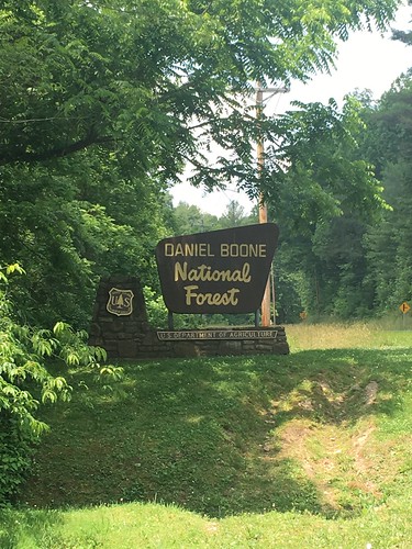
Sheltowee Trace: Section 6 – Wildcat Battlefield to Elisha Branch Road
Dates: June 11-12, 2016
Weather: Hot and clear
Section: Camp Wildcat Battlefield parking lot to Elisha Branch Road at US-421 (near McKee, Kentucky)
Miles: Saturday – 20.06 miles — Gaia GPS, official STA map — 20 miles;
Sunday – 12.1 miles — Gaia GPS, official STA map — 12 miles. Scroll to bottom to download GPX tracks for your GPS device or app. The miles displayed in the wordpress plugin are different than what the Gaia app says, which is what I list in this top section. You can also visit my Sheltowee Trace folder on GaiaGPS.
First things first — our fearless Sheltowee Trace Association director, Steve, recently told us that one of his mapping experts will be doing a presentation at the STA October conference on the mismatch between official map miles, and folks’ GPS devices. In many cases, this probably has to do with elevation issues and possibly walking zig-zag style around the trail. In the case of wearable devices (like a FitBit or GPS watch), the device measurement may not accurately take into account one’s stride.
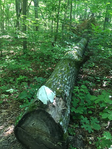
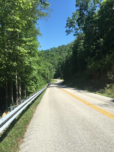
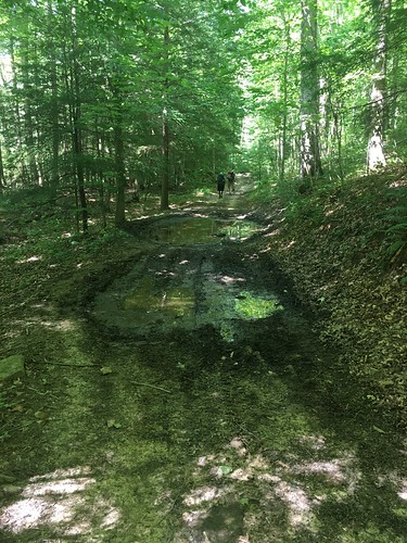
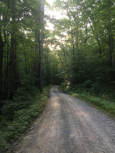
Section 6 was our first major taste of road-walking — as well as some brutally hot temperatures. I never managed to look at the temperature that day (out of cell service areas most of the weekend), but I think the forecast was in the mid-90s, and it sure felt like it. Much of the trail on this month was shared with dirt bikes, ATVs, and horses, which meant that the trail was very, very muddy and full of standing water in many parts. On the bright side, it meant that the trail never “disappeared” (except for a couple of confusing turns and one creek crossing which required studious map consultation).
Overall, despite the mud, road-walking and some of the noise, I really enjoyed this section. I think it was partly due to the monthly hike being “routine” at this point, a growing camaraderie with the other hikers, all the trees being fully leafed, and a lighter pack load due to the warmer weather and going stoveless. More about that further down!
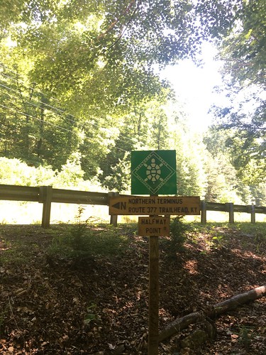
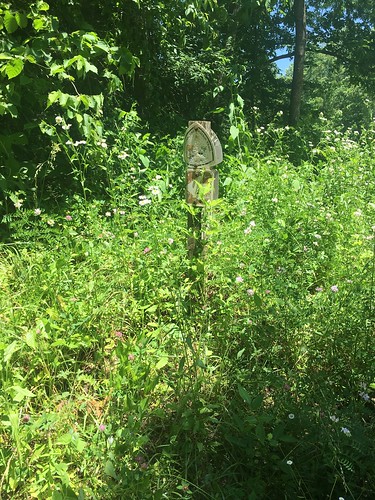
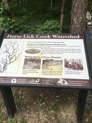
On Saturday morning, we hit a really important milestone — the halfway point marker of the Sheltowee Trace! I think this is around Mile 162 according the official maps, so I would have thought it would be located a couple miles away (the current trail mileage is 319 miles). Anyone have some insights? Either way, it was a really fun place to stop and take some pictures before we hit a 7 mile stretch of hot and humid road-walking.
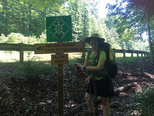
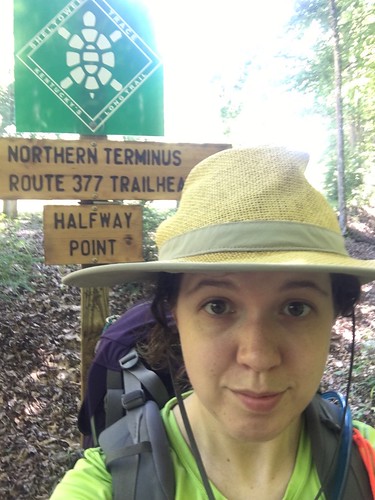
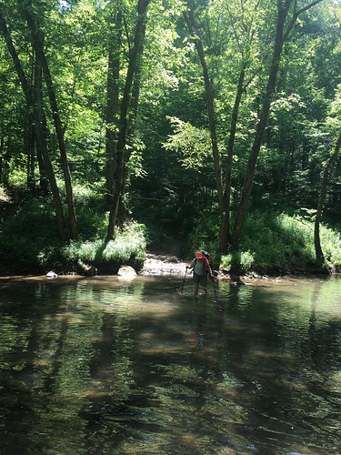
You’ll notice in that photo I have trail runnners on — there were several things I mixed up on this section. First, I bought trail runners a while ago, and had only day-hiked in them until recently. Since I knew it would be hot and there was a lot of road walking (which always feels awful in boots), I ditched my beloved Vasque boots for this weekend and switched to my Brooks trail runners. I’m a convert, at least for warm months. I’ll be back in the boots once we get back into bad weather.
Second, I recently bought this amazing hiking skirt from a woman who started her own business called Purple Rain Adventure Skirts. It was awesome! I was hesitant to wear it on earlier sections of the trail that required a lot of climbing over logs (read: situations when you really want to wear pants). Luckily there were almost no downed trees blocking the trail on this section. I wear dresses every day to work, so believe it or not I feel more normal in a skirt or a dress than pants. The best thing about this skirt besides the breathable material were the generous pockets, and the fact it never twisted around. I don’t know what kind of sewing magic she did to make that possible, but women’s skirts almost always twist around when you walk long enough in them, and it’s a miracle that this one didn’t. It also kept me from getting overheated on the long day.
Finally, I ditched the stove this time! I was going to re-hydrate some couscous in a bag, but I kind of lost my appetite on Saturday and had to force myself to eat a little bit of food. The only thing I was really worried about missing out on was coffee, but I found that the Starbucks Via Instant Iced Coffee packets were just fine. Like trail runners, I am a total convert to stoveless eating for at least the warmer months. Even though I use a very lightweight alcohol stove, the weight savings were noticeable without the bowls and fuel.
So these changes all started with a ‘S’ — shoes, skirt, and stove(less). I think these are now my ‘S’ummer ‘S’avings (weight-wise). I also ditched my underquilt this month and was mostly OK without it. I usually weigh my pack once I pack everything (before and after adding in my Platypus filled with water), and in June I saved about 2.6 pounds of base weight over previous months.
Doesn’t sound like a lot, but when you’re slogging through that road walk shown above, it makes every bit of difference. I definitely felt like it was a physically easier hike than in past months, although at one point on that road I got a bit woozy (mostly due to the sun and not eating enough snacks — I was okay after a brief rest).
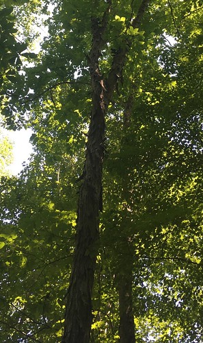
Shagbark hickories are one of my favorite trees. This one was beautiful! Fun fact: 50 West Brewing in Cincinnati has made a beer with shagbark.
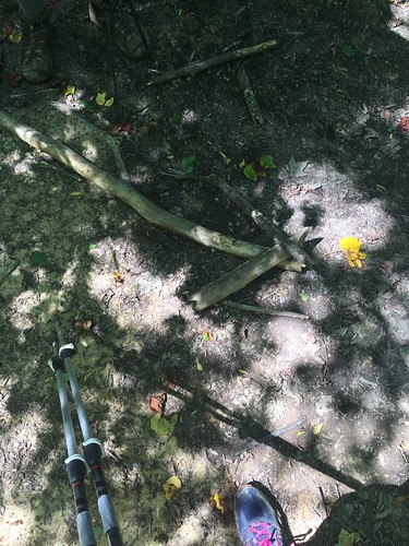
Sometimes when a turn isn’t obvious, an enterprising hiker in the front will thoughtfully lay down some stick arrows.
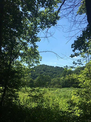
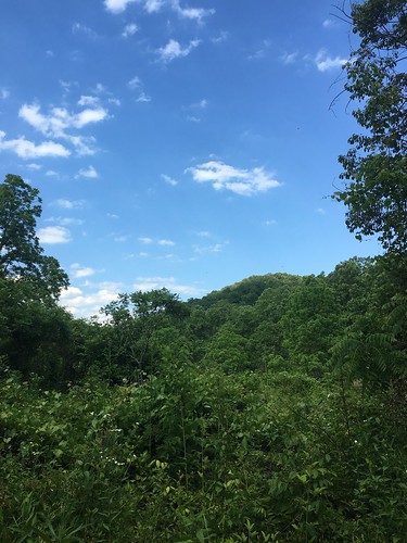
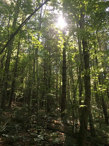
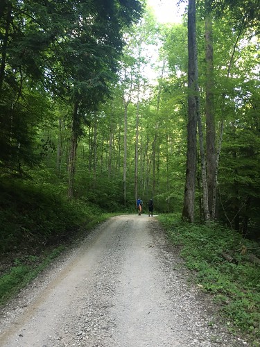
Aren’t these hills gorgeous?
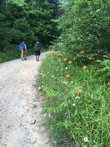
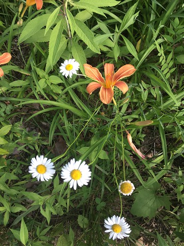
Not only were there gorgeous hills, and shady trees, but some very nice wildflowers.
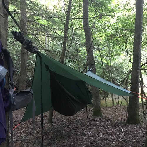
Hard to see, but just past the trees behind my hammock was a tiny little fall. A great place to hang out and get some fresh water.
The infamous uphill climb out of camp the next day (it really wasn’t *that* bad).
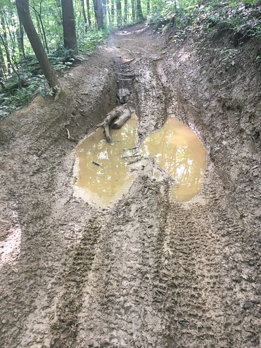
This mud hole sort of looks like a giant deer hoof print, huh?
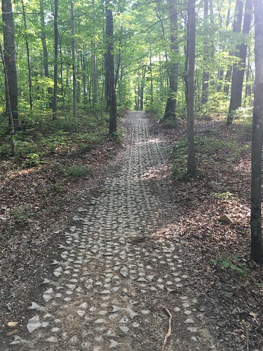
Some parts of the trail near roads have pavers (not sure if that is the right term), presumably to prevent further soil erosion due to vehicle use.
After this we had another mile or so of road-walking — this was the last good photo opportunity!
Saturday track:
Sunday track:
Categorised as: outside
Wow – I understand the pictures – satellite and graphs not so much. How do you do this??????
Another good one Eira. You guys had a tuff hike.