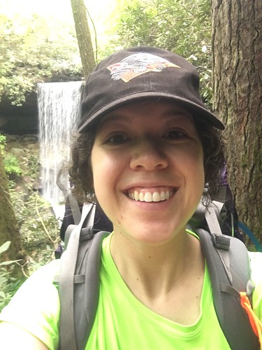
Sheltowee Trace: Section 5 – Highway 192 to Wildcat Battlefield
Dates: May 14-15, 2016
Weather: Almost perfect weather both days! A little bit of periodic drizzle on Saturday.
Section: Highway 192 trailhead lot to Camp Wildcat Battlefield parking lot
Miles: Saturday – 23.06 miles, Sunday – 10.19 miles [Saturday disclaimer: I got a bit lost just after crossing the suspension bridge at Mile 186 (Sinking Creek), and had to backtrack, which added on just over a mile] (scroll to bottom to download GPX tracks for your GPS device or app. The miles displayed in the wordpress plugin are different than what the Gaia app says, which is what I list in this top section. You can also visit my Sheltowee Trace folder on GaiaGPS. Hikers be aware that miles tracked in GPS are usually longer than the miles noted on the official Sheltowee Trace maps.)
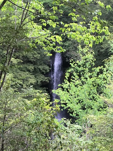
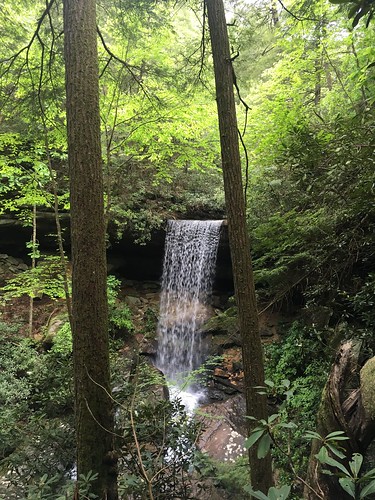
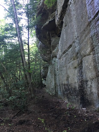
Another beautiful section of the Sheltowee! This section also included more road walking than any other section to date. At least we got some beautiful waterfalls at the beginning.
Shortly before we hit this section of (by now, not super obvious) wind-damaged forest, there had been a very confusing fork with no visible blazes. I had been standing around for quite some time trying to figure out what to do next when another hiker (who has been on the ST many times, and carries around some spare blazes) popped back up to let me know the correct way to go. He added a blaze shortly before this section to help prevent further confusion for hikers behind us.
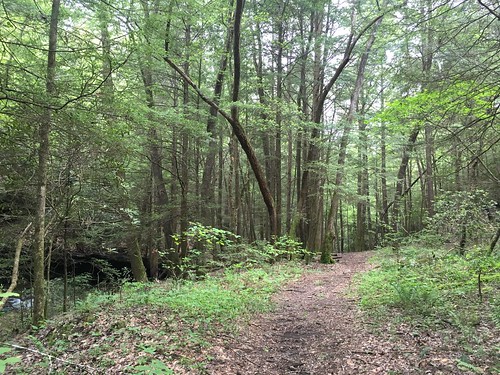
One of my favorite things about being a year-round hiker is you really appreciate how beautiful the forest gets after everything being leafless and gray for months.
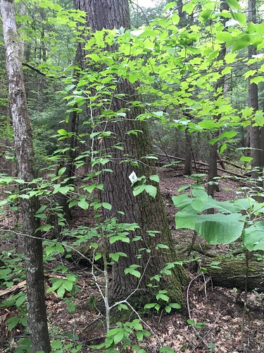
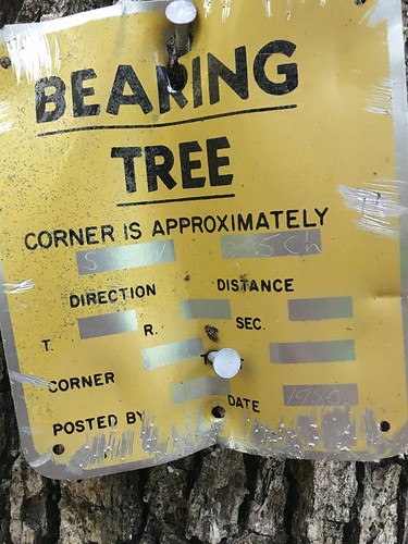
Like other recent sections, this one required keeping the map handy at all times – several places in which the blazing was less than ideal (more so on Saturday; Sunday’s section was well-blazed and easily navigable because of the road hiking at the end) or when the trail went faint meant that I wasn’t always confident of my place. Here you can see where the blaze was somewhat hidden behind some branches. I didn’t see this at first because the trail had grown somewhat faint going around it.
This section had a lot of dirt bikers riding in the vicinity. We could also hear a nearby drag racing course. It sounded like a car would suddenly drive up on to the trail!
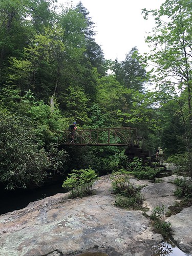
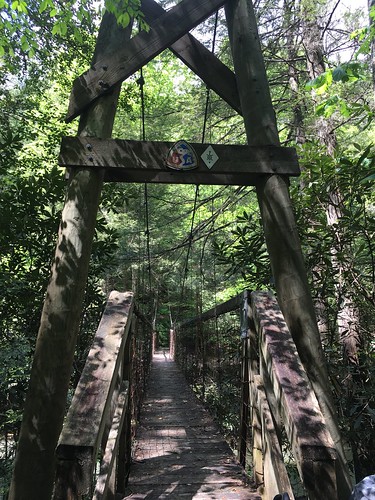
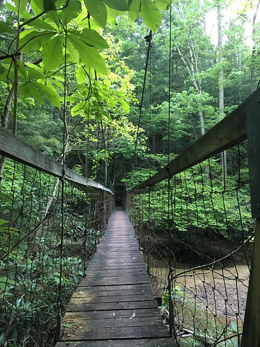
Shortly after this suspension bridge at Sinking Creek, I wandered off the trail (and apparently onto private property…) and added a little bit over 1 mile onto my total Saturday mileage. Bummer! And unfortunately it happened because there was not great blazing on the other side of the bridge.
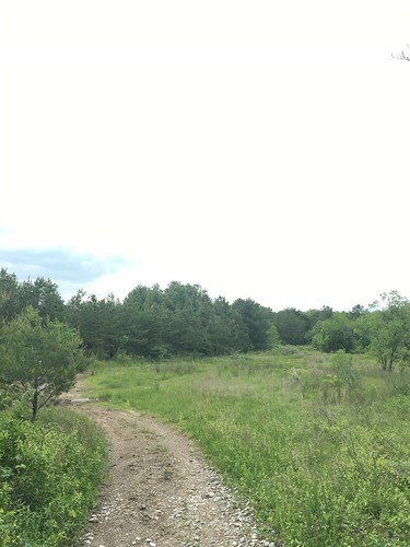
After getting back on the trail, it popped up shortly afterward into an open field.
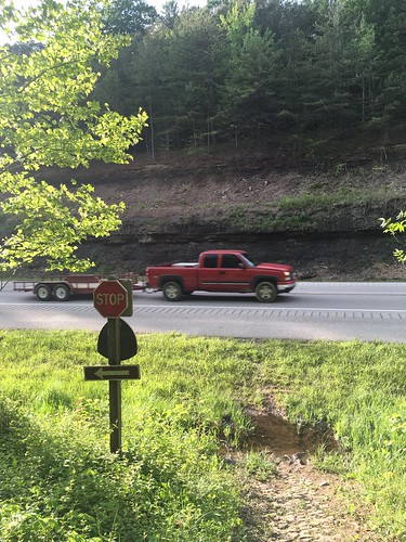
After what felt like a long time I finally reaching Highway 80, and had started to get a bit anxious about hitting camp before the sun set. Highway 80 is a little intimidating to cross, but luckily there weren’t any blind curves so I was able to scurry across quickly.
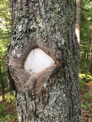
Blazes weren’t always obvious on the trees in this section — the old white diamond blazes had been affixed to the trees many years ago, and the trees had started to grow over and around the blazes.
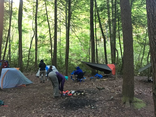
Shortly after, you cross a very quiet county road. By the time the sun was obviously getting lower in the sky, and while I still had about an hour until sunset, because the hills were pretty tall and the sun had set on the other side of the hill I was on, the light was quickly getting dim. A few folks made it into camp well after sunset — very glad I made it just in time to have a few last minutes of light to hang my hammock. Most of the group camped on the other side of the Hawk Creek suspension bridge.
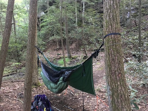
We had a semi-leisurely next morning breaking camp, knowing we only had half the mileage of the day before, and the epic treat of getting to stop by a diner! I didn’t really fall into a deep sleep, but I have been enjoying my new suspension, and always find laying in a hammock to be so comfortable compared to sleeping on the ground – especially because my shoulders and legs are usually pretty sore after 20 miles with a big pack.
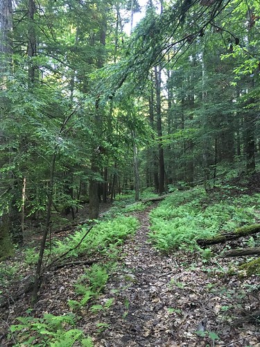
The forested part of Sunday’s hike was particularly enjoyable — beautiful weather, clear trail, and a challenging but pretty climb.
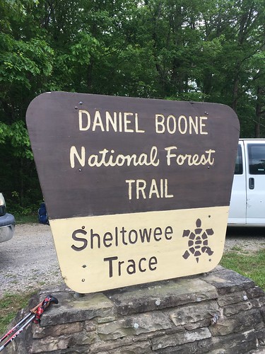
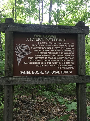
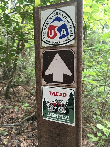
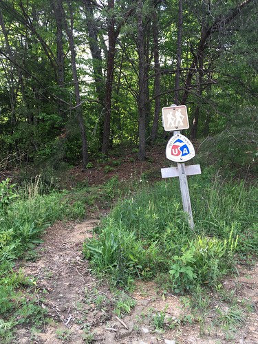
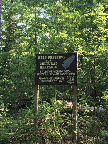
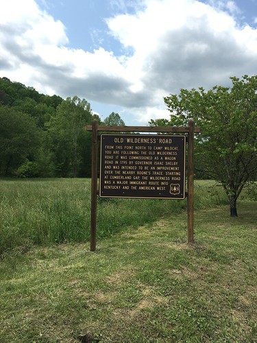
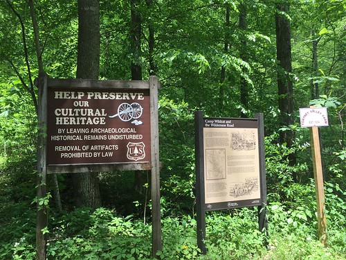
This sign was shortly before we hit a restoration area of the Trace.
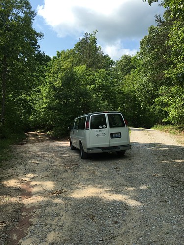
After leaving the restoration area, we were on a gravel road down to the diner next to 75. Whenever you see Steve’s (Sheltowee Trace director) van, you know you’re on the right path.
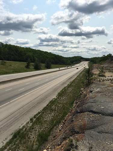
Crossing over 75 was a little anti-climactic, but still kind of exciting since it’s about 15-ish miles from the half-way point of the entire trail.
The last stretch was heading up roads (including one last very steep incline) to an old Civil War site, Wildcat Battlefield.
Saturday track:
Sunday track:
Categorised as: outside
Another great write up Eira?
Nice Read!! Thanks