Sheltowee Trace: Section 3 – 6 miles past Peters Mountain Road to 700 trailhead lot
Dates: March 12-13, 2016
Weather: Clear, sunny and warm on Saturday, clear and on/off cloudy/sunny with a couple hours of rain on Sunday
Section: 6 miles past Peters Mountain Road to Big Creek Road Crossing (and Saturday overnight at Flat Rock Baptist Church) to the 700 Trailhead lot near Indian Creek
Miles: Saturday – 25.7 miles, Sunday – 18.1 miles (scroll to bottom to download GPX tracks for your GPS device or app. The miles displayed in the wordpress plugin are different than what the Gaia app says, which is what I list in this top section. You can also visit my Sheltowee Trace folder on GaiaGPS. Hikers be aware that miles tracked in GPS are usually longer than the miles noted on the official Sheltowee Trace maps.)
With the March Section 3 hike, we’re now completely out of Tennessee and bidding a fond farewell to the wild and gorgeous Big South Fork. We will be in the Daniel Boone National Forest for most of the remaining sections. This hike we slack-packed – we didn’t need a tent or hammock because Flat Rock Baptist Church, right on the Sheltowee Trace, hosted us on Saturday night. In addition, we’re all allowed to drop 5 pounds of gear (this happens monthly), so I was able to hike with just my day pack. I really appreciated losing over 10 pounds (!) of gear weight – it made our very long mileage much more manageable.
Also, this was my friend Susanna’s last hike on the Sheltowee for some time. She is heading to California next month to begin her thru-hike the Pacific Crest Trail! I will really miss her company, both in town (she and I live about 10 minutes from each other) and on the trail. You can follow her journey on her blog.
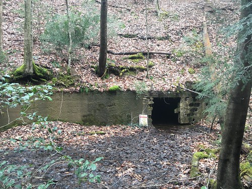
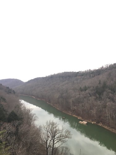
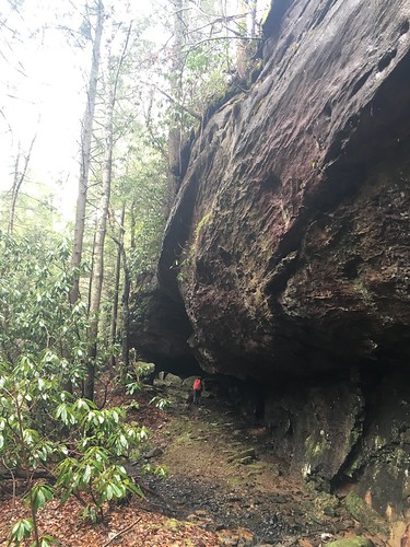
We had perfect weather on Saturday – sunny, clear, and not too hot. We had some beautiful views during the first couple hours of the hike, and then when we descended towards Yamacraw Bridge, we began seeing an exciting sight – abandoned mines! But these are very dangerous, so one MUST keep a respectful distance.
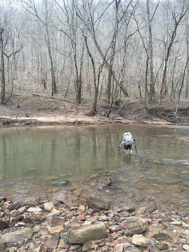
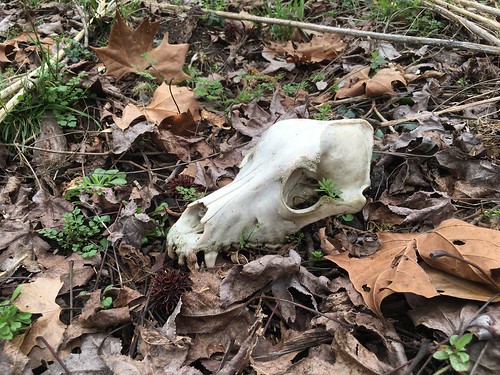
We had a pretty big creek crossing at Rock Creek, and found a couple of creepy things past the creek – this mystery skull (dog? fox?) and a severed deer leg. Sorry, no pictures of the latter. The skull picture is from Susanna.
A mile-ish later, we ended up at the tiny general store just before Yamacraw Bridge. A sandwich and ice-cold Ale8 was just $4. We continued on, and the trail hugged the river much of the remainder of the afternoon.
The name of the game with the challenge so far has been to learn to be flexible. Saturday was a great example of this – a number of us (including Susanna and me) were pulled off a few miles before the church because sunset was coming up quick, and for safety’s sake (the trail was faint in some places with many downed trees), it wasn’t a good idea for us to walk the last 4-ish miles. That meant on Sunday morning, a big group of us started the day’s hike up a few miles earlier than originally planned. While it was still pretty dark (especially because of the clock going forward with daylight’s saving time), we had a big group out together, and I must say it was an awesome example of team work – we did a great job of navigating the trail and many downed trees in the hour before sunrise.
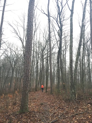
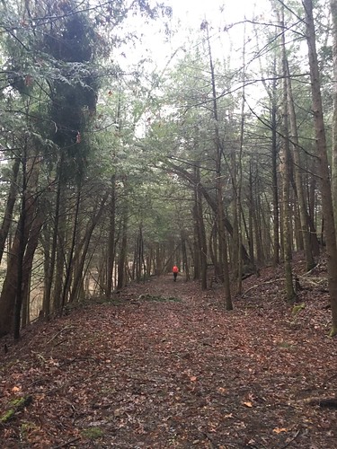
Once the sun was up, the rest of the trail was super easy and delightful! We only took a wrong turn once, and were able to back track fairly easily.
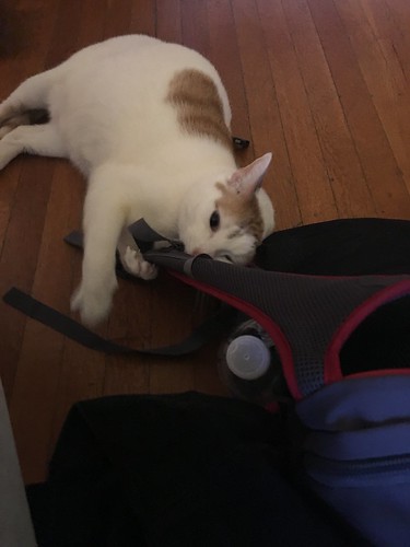
The shorter hike on Sunday (even with the made-up miles from Saturday) meant we hit the road a bit earlier – which worked out well, because we ran into very heavy rain on I-75 north back to Cincinnati. I’m not sure if anyone else on the hike has weird pets at home, but when I get home my cat loves to hang out and smell my stinky gear before I get a chance to air it out. Here’s Clem going crazy over my daypack.
I want to especially thank the amazing folks at Flat Rock Baptist Church. They opened up their doors to us so we had hot showers, a roof over our heads, and a delicious dinner with an AMAZING array of desserts. I know we all enjoyed their hospitality – truly our trail angels for this section!
Saturday track:
Sunday track:
Categorised as: outside
Eira I really appreciate your blog! All the record and photography that I am too inept to do . . . I was in group two and our experiences were much the same. Flat Rock Baptist, wow, I can’t say enough good things about their hospitality.
The forecast was rain all weekend but after a little bit Friday night, not a drop came our way. A nice break!
We have three cats who are weird, but not in the same way as Clem apparently. They are uninterested in my gear.
Till next month . . .
Nice write-up Eira. We avoided the long hike on Saturday by starting at mid-day Friday. Of course we that meant no slack-packing. Alice and I spent Friday night in the little shelter between Yamacraw and Alum Ford Campground.